Arctic Winter Sea Ice Ties Record Low, NASA, NSIDC Scientists Find
Arctic winter sea ice reached a peak of 5.52 million square miles (14.29 million square kilometers) on 15 March 2026, tying the lowest winter maximum recorded since satellite observations began in 1979. The measurement was reported by scientists from NASA’s Goddard Space Flight Center and the National Snow and Ice Data Center (NSIDC) at the University of Colorado, Boulder. The finding marks the second consecutive year that the Arctic’s winter extent matches the historic low, closely matching the 5.53 million‑square‑mile peak recorded in 2025.
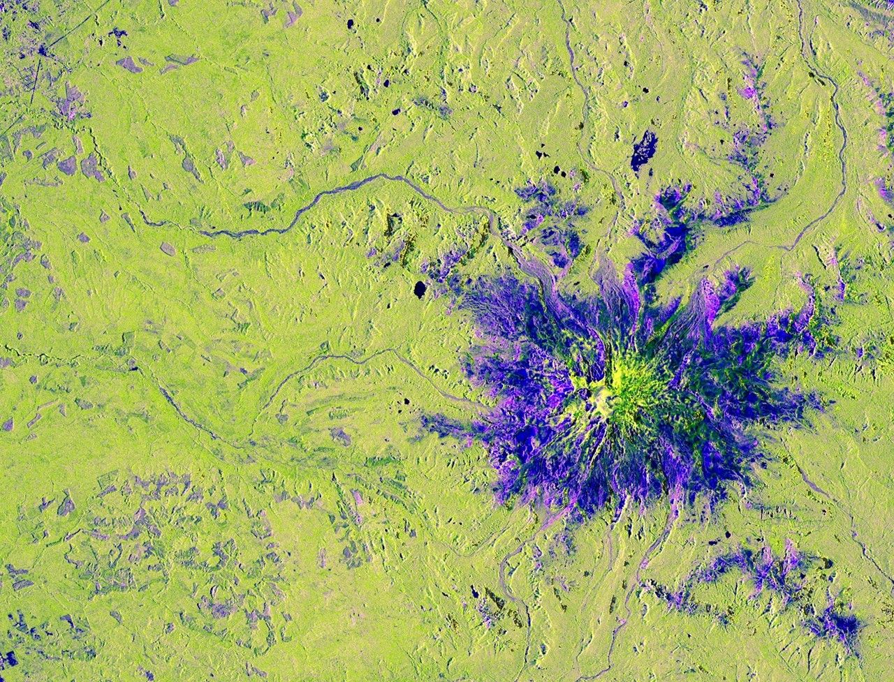
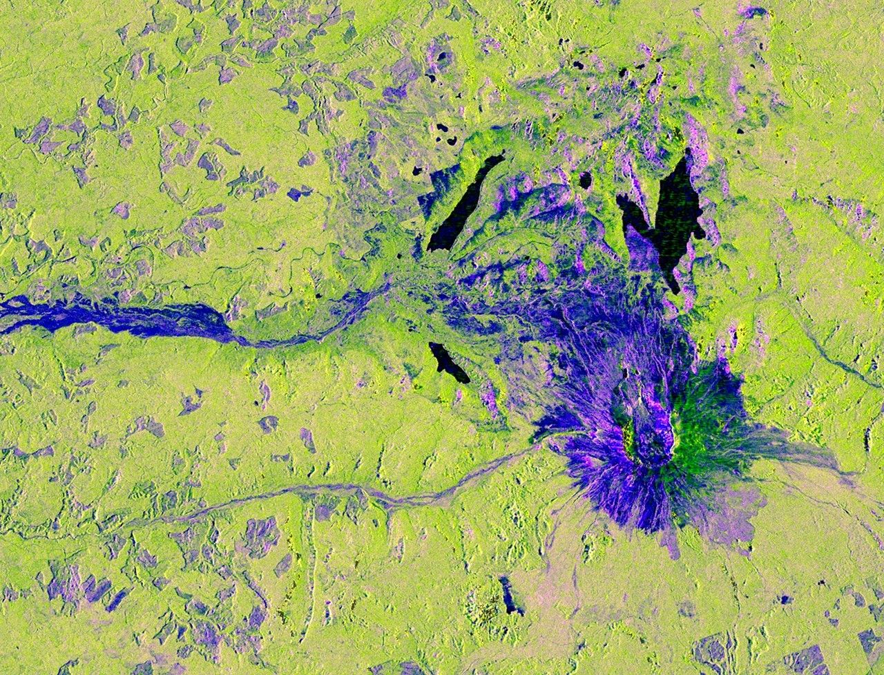
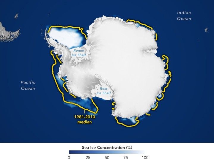
NASA’s ICESat‑2 laser altimeter, operating alongside data from the Defense Meteorological Satellite Program and Japan’s Advanced Microwave Scanning Radiometer 2 (AMSR‑2), supplied the primary observations. Researchers noted a pronounced thinning of ice across the Barents Sea northeast of Greenland and reduced coverage in the Sea of Okhotsk, a region known for high interannual variability. The 2026 peak fell roughly half a million square miles (1.3 million km²) below the 1981‑2010 average, confirming a continued downward trend in multi‑year ice accumulation. In the Southern Hemisphere, Antarctic summer sea ice hit a minimum of 996 000 square miles (2.58 million km²) on 26 February, a modest rise over the past four years yet still 100 000 square miles below the 1981‑2010 norm and well above the 2023 record low of 691 000 square miles.
The twin‑year record low underscores the long‑term decline observed across four decades of satellite monitoring, reinforcing the role of space‑based sensors in climate assessment. NSIDC’s reliance on JAXA’s AMSR‑2 for real‑time ice data reflects growing international collaboration in cryospheric science. The continued thinning and reduced extent of Arctic ice influence projections for future sea‑level rise and weather patterns, while the performance of ICESat‑2 validates its capability for high‑resolution elevation measurements essential to upcoming Earth‑observing missions.