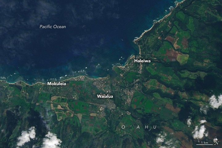
A Fault Line in Full Bloom
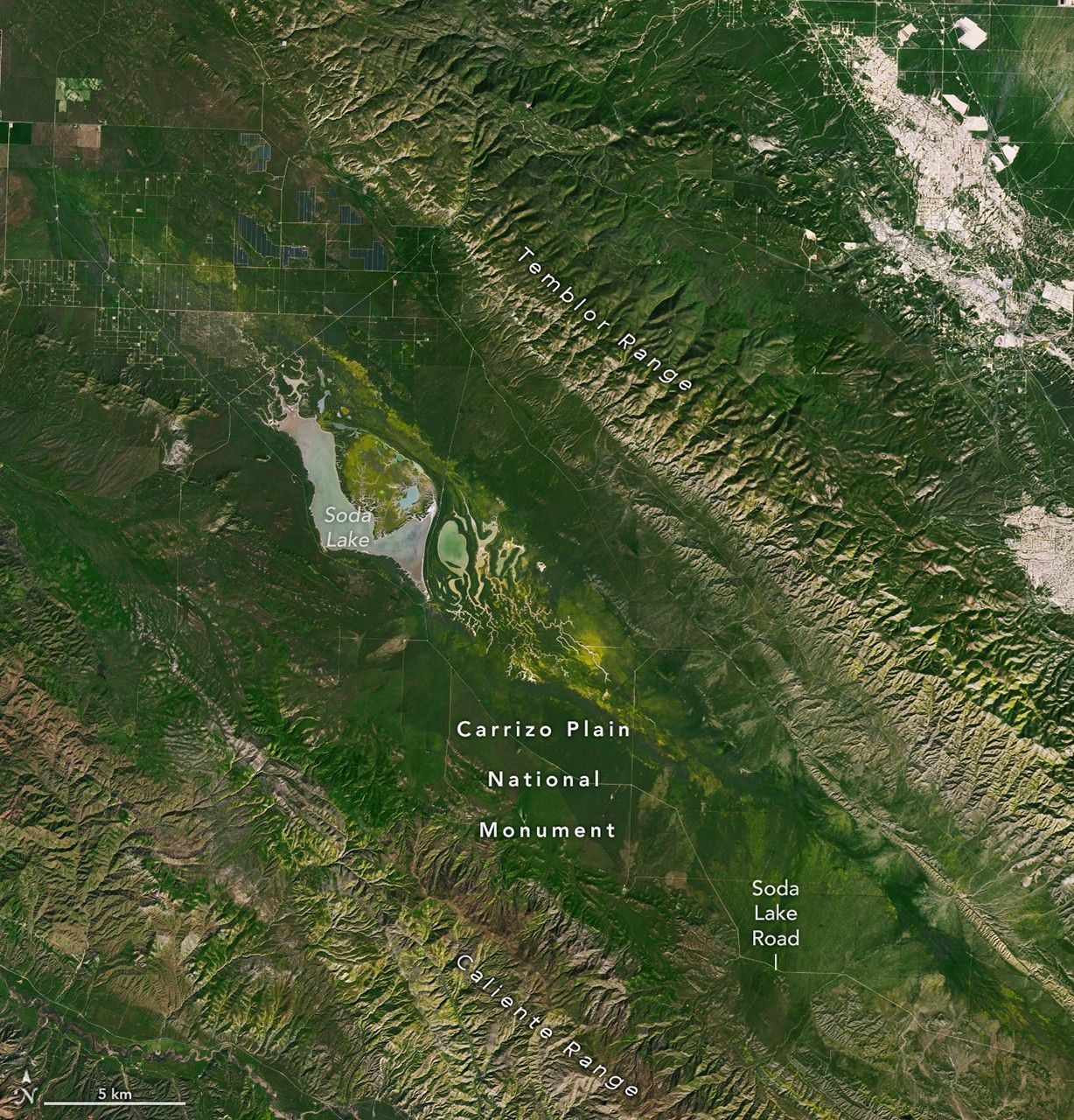
Golden wildflower blooms have spread across plains surrounding the San Andreas Fault and Carrizo Plain National Monument in Southern California during early March 2026, creating extensive yellow vegetation patterns visible in satellite imagery captured by NASA’s Landsat 8 and Landsat 9 instruments. The imagery, acquired between March 5 and March 13, shows a marked increase in vegetation cover across normally arid terrain where seasonal rains and environmental conditions supported abundant plant growth. Plains that lie atop or near the tectonic boundary between the Pacific Plate and the North American Plate are displaying these blooms as part of seasonal landscape transformation.
Landsat’s Operational Land Imagers (OLI) aboard both satellites provided multi‑temporal data that highlight changes in vegetation reflectance as wildflower coverage intensified over the first half of March. The yellow patches correspond to flowering annual species endemic to the Carrizo Plain, an ecologically sensitive region influenced by Mediterranean climate patterns of wet winters and dry summers. Satellite observations of vegetation phenology and land surface conditions help scientists track ecological responses to precipitation dynamics and environmental stressors on fault‑zone landscapes.
NASA’s Earth Observatory uses this type of Earth surface imagery to illustrate interactions between geology, climate, and ecosystems, with the San Andreas Fault region serving as both a tectonic boundary and a corridor for seasonal vegetation change. The Carrizo Plain National Monument, a key site for studying tectonics and ecological patterns, provides a natural laboratory for understanding how fault‑related topography and rainfall gradients influence plant distribution. Earth science data from satellite platforms continue to support research into how land surface processes vary across fault zones, contributing to broader Earth systems science.