NASA Laser Reflecting Instrument Makes GPS Satellite More Accurate
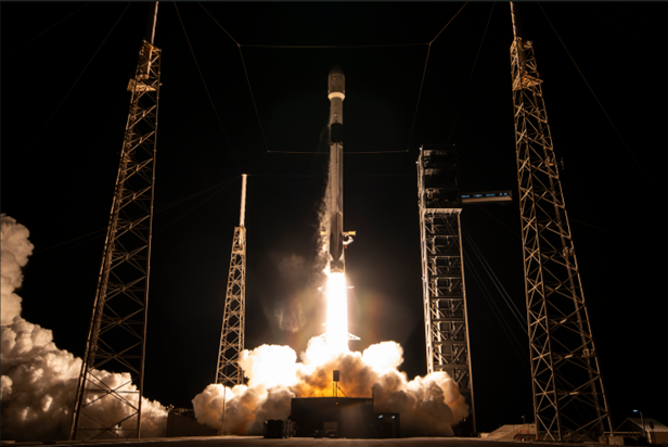
NASA’s Goddard Space Flight Center has reported improvements in global positioning accuracy through the use of a laser reflecting instrument installed on a GPS navigation satellite, enhancing the precision of orbit determination for the spacecraft. The instrument, known as a Laser Retroreflector Array (LRA), provides passive optical targets that allow ground‑based laser ranging stations to measure the satellite’s position with millimetre‑level accuracy, contributing to refinements in the International Terrestrial Reference Frame (ITRF) and more reliable positioning data for users worldwide. The update was published by NASA on March 26, 2026 as part of ongoing efforts to improve space‑based navigation performance and scientific measurement capabilities.
The LRA technology enables ground stations to send laser pulses to the GPS satellite and time their return, yielding highly precise distance measurements that complement traditional radio navigation signals. By integrating optical laser ranging data with conventional satellite tracking and navigation algorithms, engineers can reduce uncertainties in the spacecraft’s orbit and clock solutions. This improvement in orbit determination supports enhanced timing and positioning accuracy for GPS services, which are critical for applications ranging from autonomous navigation to geodetic studies. NASA’s involvement in this enhancement reflects a collaboration with partner agencies that operate and maintain satellites in the GPS constellation, ensuring that optical tracking techniques are integrated into broader navigation system performance assessments.
The addition of laser ranging capability to a GPS satellite demonstrates how optical instrumentation can augment existing radio‑frequency navigation architectures, providing redundancy and higher fidelity data that benefit scientific and civilian positioning needs. As satellite navigation systems continue to evolve, integrating diverse ranging techniques such as laser tracking contributes to improved reference frames and enhanced service reliability. These advancements support a wide range of applications including Earth science, transportation systems and precision timing infrastructure that depend on consistently accurate global positioning data.