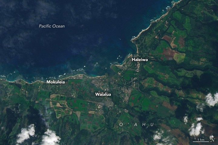
SWOT Mission Unlocks a New View of Our Waterways
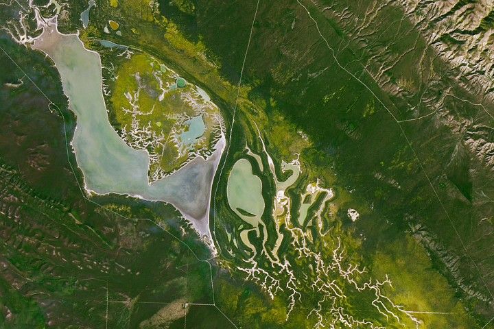
NASA’s Surface Water and Ocean Topography (SWOT) mission is now providing detailed views of rivers and waterways around the world, enabling scientists to observe water movement and change on a global scale. The SWOT satellite’s data have revealed continuous measurements of major river systems from the Mississippi to the Amazon, offering a new picture of how freshwater flows across the planet and interacts with landscapes and ecosystems. The mission’s observations span Earth’s surface, capturing water dynamics that were previously unmeasurable at this scope and resolution.
SWOT was developed jointly by NASA’s Jet Propulsion Laboratory and the French space agency Centre National d’Études Spatiales, with contributions from the Canadian Space Agency and the United Kingdom Space Agency. The mission uses advanced radar interferometry to measure water surface height and extent, producing consistent data over rivers, lakes, reservoirs, and ocean surfaces. The satellite’s global measurements enable scientists to quantify variations in water flow and distribution with unprecedented coverage and consistency, supporting a broad range of hydrological research and applied water resource management.
Early results from SWOT illustrate how rivers’ shapes, velocities, and seasonal behaviors vary across the globe, providing insight into how freshwater supports human economies and natural ecosystems. By continuously monitoring water movement, the mission enhances understanding of water cycle processes and delivers a baseline dataset that scientists can use to track change over time. Researchers and resource managers are beginning to incorporate SWOT’s measurements into studies of water availability, flood potential, and long‑term hydrological trends that influence planning and adaptation strategies worldwide.